Road Conditions
For up-to-date traffic and travel information, please phone 13 19 40 or visit the website www.131940.qld.gov.au. The information supplied by 13 19 40 is designed to provide individuals with current road conditions so they can check their planned route. As road conditions can change minute by minute, and people have different travel requirements, motorists are advised to phone 13 19 40 or visit the website www.131940.qld.gov.au prior to and during their journey, to ensure they have the most current information on road conditions. No matter who you are, no matter what you drive, the moment you decide to push through floodwater, you give up control. Turn around and take control back. Remember - if it's flooded, forget it.
Paroo Shire's Current Road Conditions Report
Paroo Shire's Disaster Dashboard and Road Conditions Map
Register of Public Roads
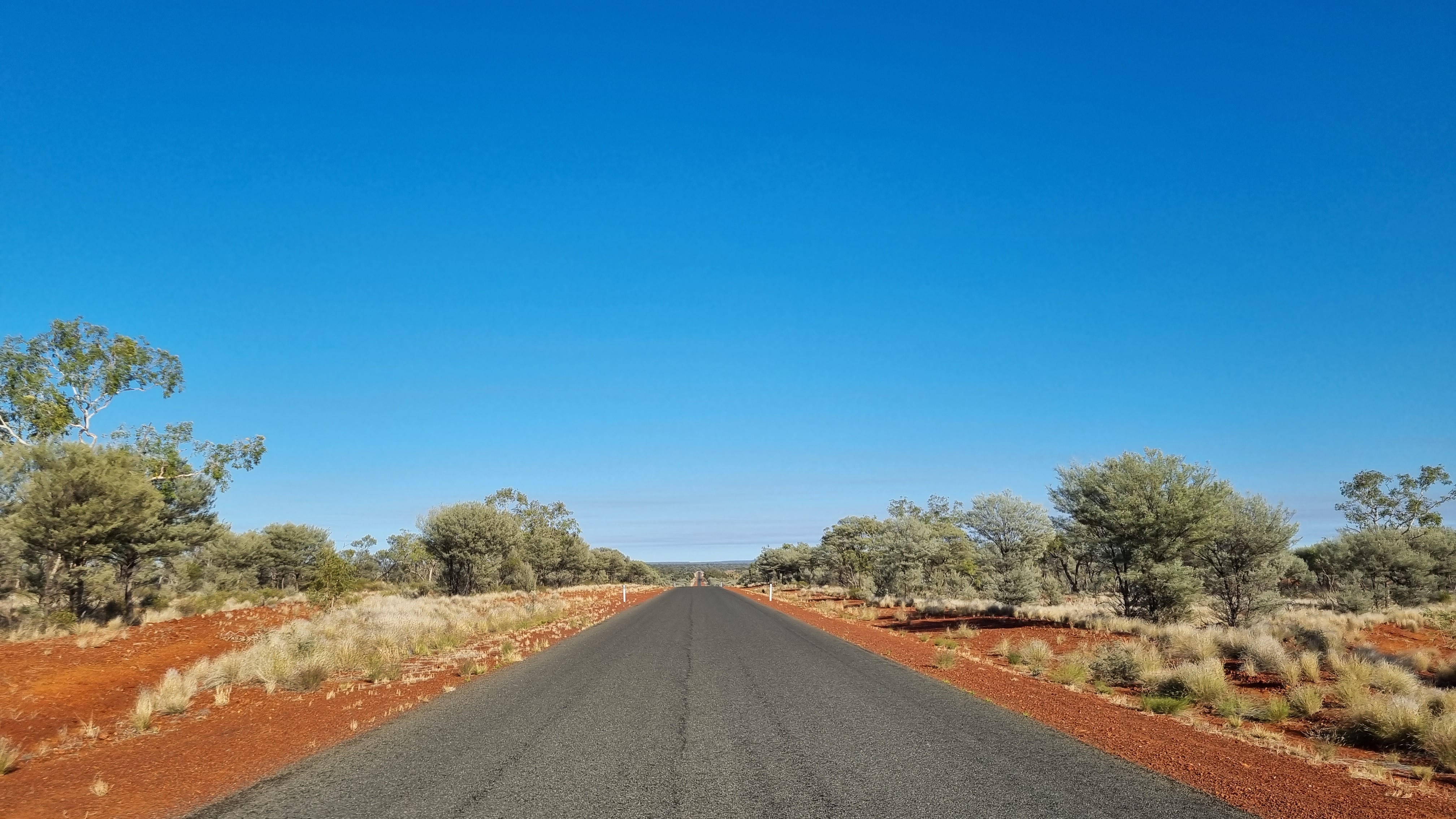
Paroo Shire Council covers 47,633sq km and incorporates the towns of Cunnamulla, Yowah, Eulo and Wyandra. The total length of Council’s Road network within this area is 2,346 km including 380km of sealed and 1210km of unsealed roads. Paroo Shire Councils Register of Public Roads provides details of each of the public roads that the council is responsible for.
The term ‘public road’ (in the context of council’s Register of Public Roads) applies to municipal roads that are reasonably required for general public use.
Under the Local Government Act 2009, A local government must categorise the roads in its local government area according to the surface of the road, prepare and keep up to date a map of every road in its local government area show other particulars that the local government considers appropriate.
To view the full register of public roads visit: Register of Public Roads